Pressure altitude, yes.
profile of altitude vs. MSL.
Moderators: sky's the limit, sepia, Sulako, Right Seat Captain, lilfssister, North Shore

profile of altitude vs. MSL.
No need to be insulting Learning2fly.Hey smart guy, can you tell me how the VSI indicates ft/min?

Sorry, I meant altitude profile using MSL values.


The point as mentioned in the previous post with the animation screen shots is:Posthumane wrote: ↑Mon Mar 05, 2018 8:21 am Ok, I don't see what's surprising about what you just posted. A straight line climb with respect to the earth is the same thing as a constant climb with respect to MSL, which is a curved path looking at it from space, since both the earth and MSL are spherical (approximately). What point are you trying to make?


Chris M wrote: ↑Fri Mar 02, 2018 10:45 amCorrect. On a large scale the climb is a round profile at a constantly diverging distance from the Earth below.Learning2Fly wrote: ↑Fri Mar 02, 2018 10:15 amSo then your ascent is not a straight line from the tangent, it is curving down as you are climbing...but the ADI doesn't follow this trend.
Agree?


Yes sir, can you explain this stuff?North Shore wrote: ↑Mon Mar 05, 2018 8:59 am Jeebus on a bicycle! Is this still going on? And now the flat-earthers are in on it, too!Next y'all'll be talking about variable tailwinds...


Nevermind seeing the curve, I plotted aircraft data that doesn't agree with you.

No corrections are required to follow the curve of the earth. The plane follows a path of constant pressure and gravity. Shape of earth does not matter for that.

They tell you, but they can't show you. Is that good enough?North Shore wrote: ↑Mon Mar 05, 2018 10:09 am The scientists, and a whole lot of people who are a lot smarter than me, tell me that the earth is round (Ok, oblate spheroid)
...
Again, good enough for me..
Have you?Learning2Fly wrote: ↑Mon Mar 05, 2018 10:19 am
Have you read the details from the beginning of this thread about gravity, the ADI, the curved climb vs. straight climb, no stick inputs vs stick inputs required?


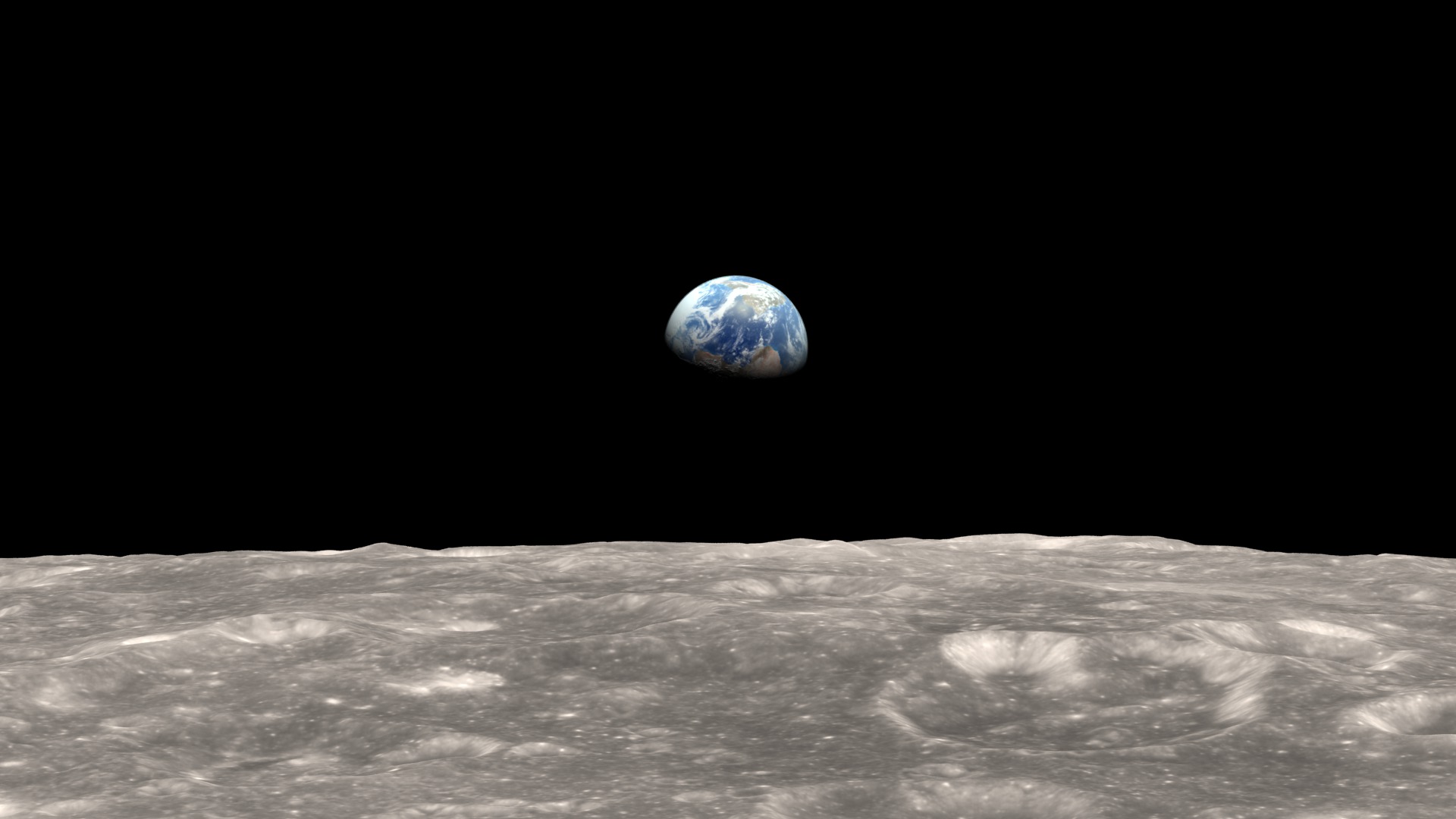
Yeah but you see North Shore, the moon landing was fake as well, so that evidence isn't admissible

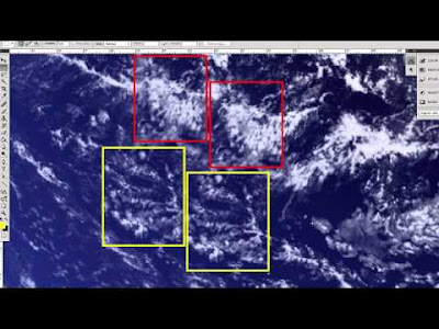
SourceBy 2002, we finally had enough data to make a snap shot of the entire Earth. So we did. The hard part was creating a flat map of the Earth’s surface with four months’ of satellite data. Reto Stockli, now at the Swiss Federal Office of Meteorology and Climatology, did much of this work. Then we wrapped the flat map around a ball. My part was integrating the surface, clouds, and oceans to match people’s expectations of how Earth looks from space.


digits_ wrote: ↑Mon Mar 05, 2018 10:26 amHave you?Learning2Fly wrote: ↑Mon Mar 05, 2018 10:19 am
Have you read the details from the beginning of this thread about gravity, the ADI, the curved climb vs. straight climb, no stick inputs vs stick inputs required?

Thank you for re-inforcing my comment about you following typical conspiracy theorist behavior. You utterly ignore context and use a small snippet of information to back your arguement.Learning2Fly wrote: ↑Mon Mar 05, 2018 10:31 am NASA has NEVER shown an image of the earth that was not CGI or composite.
It's clearly printed on their website.
By 2002, we finally had enough data to make a snap shot of the entire Earth. So we did. The hard part was creating a flat map of the Earth’s surface with four months’ of satellite data. Reto Stockli, now at the Swiss Federal Office of Meteorology and Climatology, did much of this work. Then we wrapped the flat map around a ball. My part was integrating the surface, clouds, and oceans to match people’s expectations of how Earth looks from space.